
Safely gather intelligence, make better decisions and extend your situational awareness with the Skydio X-10
Real-time monitoring and reconnaissance to safely extend your operational reach.
Collect and analyze visual intelligence from areas too dangerous or difficult to access.
Create high-res 2D maps and 3D models of structures or areas of interest.
We analyze your operational requirements and develop a tailored flight plan to gather the intelligence you need.
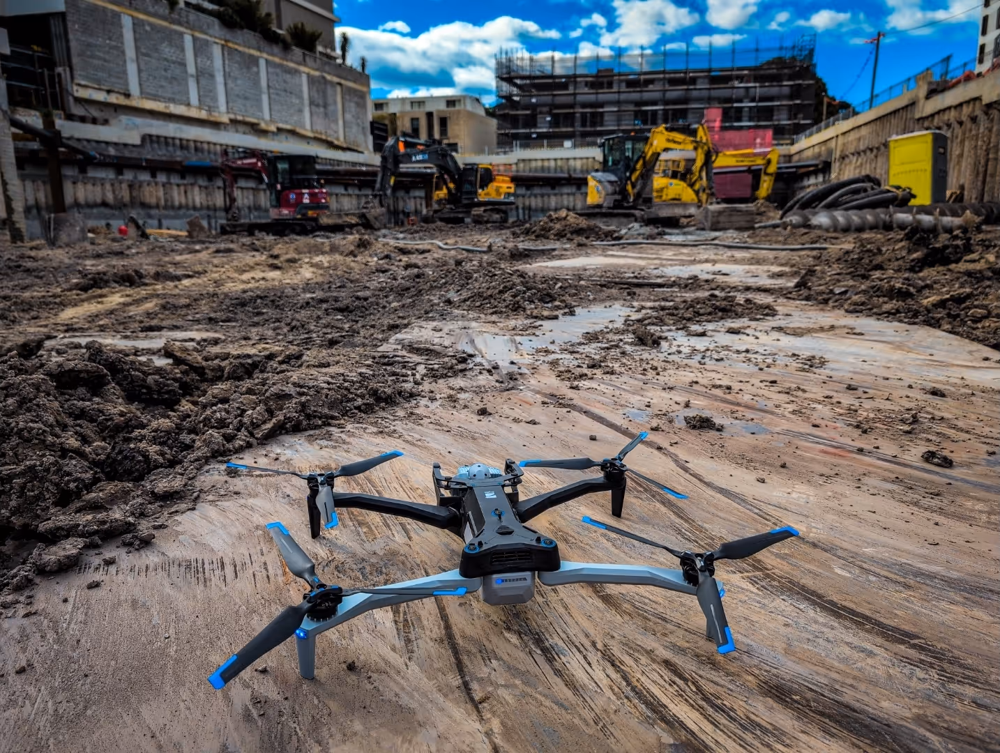
Professional drone operations using Skydio X10 systems to safely collect real-time visual intelligence from your area of interest.
Our operators analyze collected data and transform raw footage into actionable intelligence for your mission.
You receive comprehensive intelligence reports with visual evidence and tactical recommendations for your operations.
Industry leading sensors & autonomous flights
Professional, licenced drone operators & Chief Remote Pilots
Skydio X-10 RPA, Scan 3D software & RTK georeferencing