
Real-time situational awareness so your team can operate faster, safer, and smarter
Terrain, infrastructure, and environmental risks identified and mapped before deployment.
Planned entry, exit, and fallback routes tailored to your objective and area of operation.
Fuel stations, hospitals, shelters, safe houses, and other critical locations mapped, assessed and verified.
Contingency scenarios mapped and delivered in advance so your team isn’t caught off guard.
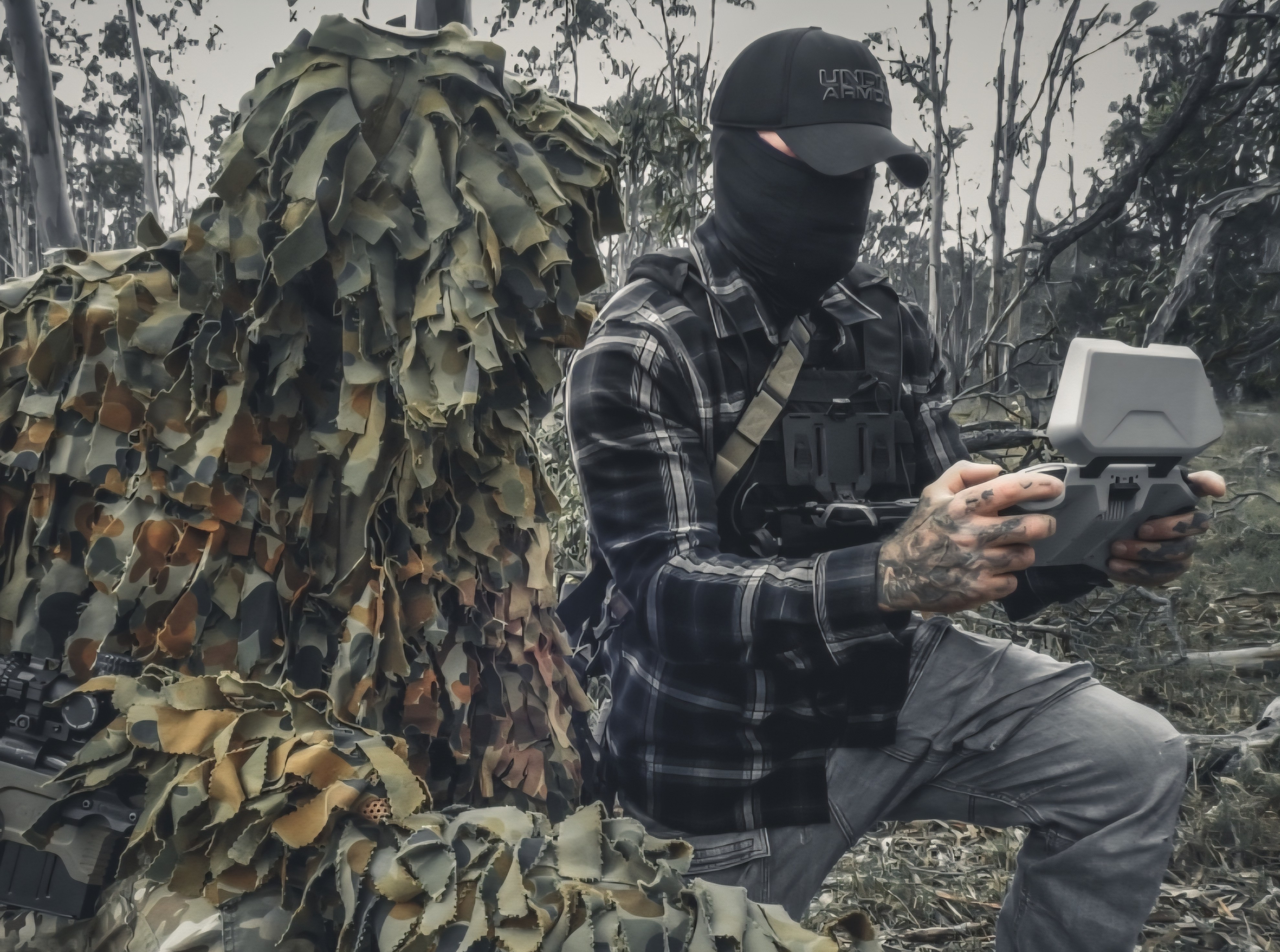
Skydio X-10 captures geospatial data to build a 3D model of the environment uploaded to Rapier EDGE so you can see and plan the mission as if you’re there on the ground.
Every team and stakeholder sees the same live picture through their Rapier EDGE system improving coordination and response.
Through Geospatial Intelligence, RPA or forward deployment we assess the terrain, infrastructure, and mission-critical risks ahead of time.
Map out the area of operation (AO) with identified places of interest, routes, medical, safe havens and emergency action plans.
Relevant data is ingested into ATAK, shared and accessible to your team via Rapier EDGE Ecosystem, including API feeds, sensors and drone feeds.
Not just data, actionable intelligence delivered in real time to shape decisive outcomes and respond with clarity, confidence and precision.
Decades of experience in front line operations
True global experience
Proven across multiple theatres of war
Operational expertise when you need it most
Get actionable intelligence through professional ISR services from Tier 1 operators who understand how to gather, analyze, and present intelligence for decision-making.
Protect your operations from electronic surveillance threats. Comprehensive detection and mitigation services to secure your facilities and communications.
Reduce operational risk through expert guidance. Threat assessments, risk analysis, and operational consulting based on decades of frontline experience across global conflict zones.